Three Fingered Jack Standard Route
Mt Jefferson Wilderness
The Obsidians - August 22nd, 2009
**Submit your photos/comments or corrections to romick1@comcast.net
| * Wayne Deeter -
Trip Leader
Wayne's Photos * Mark Slipp - Assistant Leader * Bob Kaminski * Roy McCormick * LiLi Weldon |
Trip Report:
At 7,841' Jack is not an impressively high Cascade peak but it was not climbed until 1923 due to it's exposed nature and lots of rotten rock near the summit. When the "Boys from Bend" finally made it to the pinnacle on Labor Day they reported it vibrated in the high winds! As if to demonstrate the unconsolidated nature of the rock, the original climbing route later collapsed.
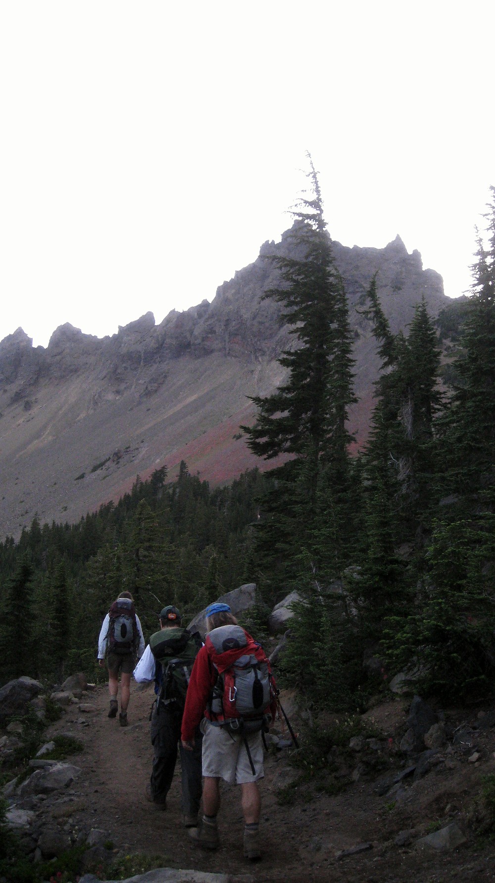
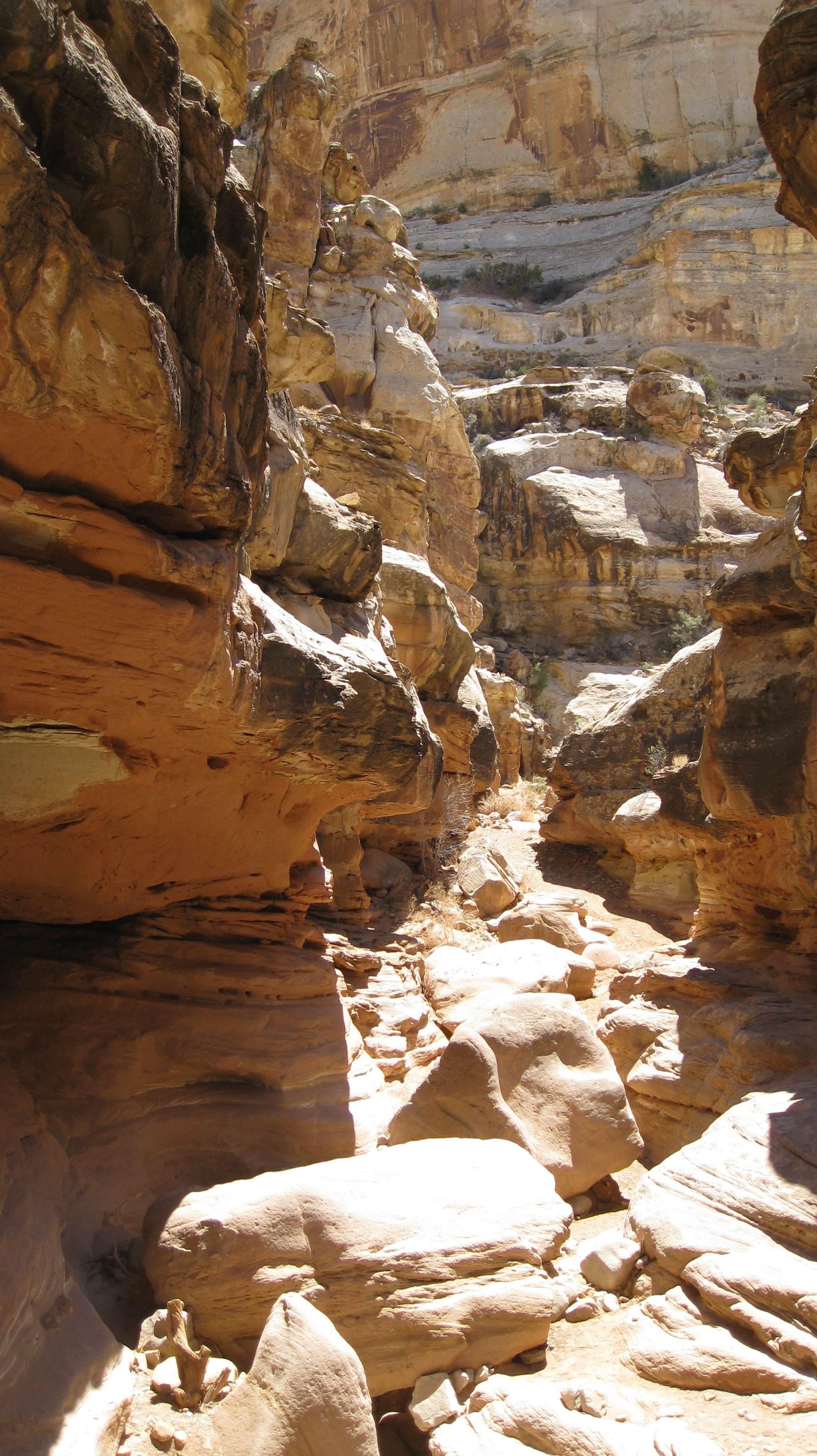
The five of us got an early start (04:19) from the Pacific Crest Trailhead near Santiam Pass and hiked by headlamp up the PCT for two hours to the cairn marking the start of the climber's trail. We made good time up to the start of "The Crawl" where the pace slowed while Wayne and Mark fixed ropes across this very exposed section. Another rope afforded protection up a shallow chimney to the summit pinnacle. One at a time, we were belayed out to the true summit by Wayne. None of our party elected to duplicate one of the first ascenders feat of a handstand on the summit.
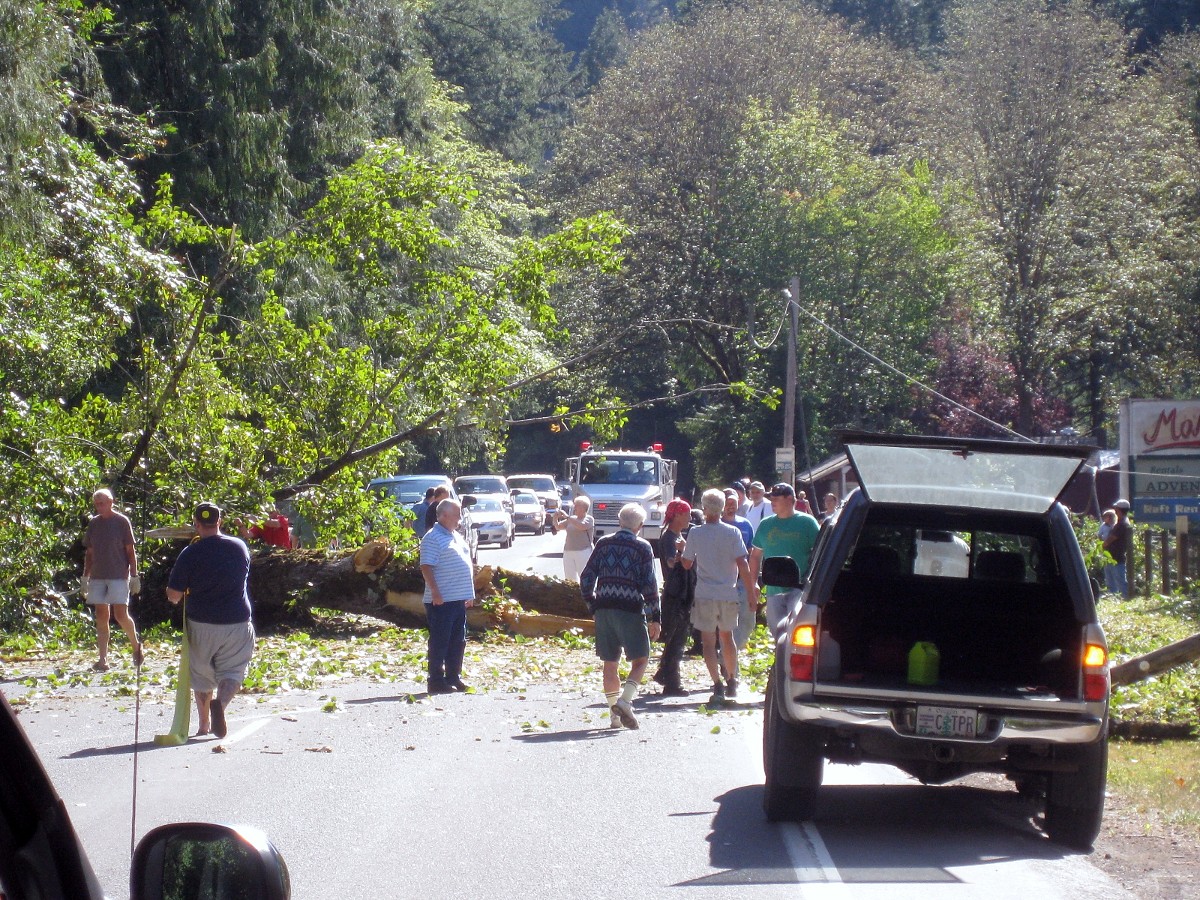
Everyone made it safely back to the trailhead just after 15:00. Wayne and LiLi headed to Sisters to refresh for a Mt Washington climb the next day (whew!) and Bob and I began the most dangerous part of the climb - the drive home. A tree across the highway and later, a kayak in the road reminded me why I call it the "McKenzie Highway of carnage".
** Please note that the target photos are large .jpg files (~2MB). Click on thumbnails for full- sized images **
rm photos are not copywrited. Please feel free to save and use. (Right click... Save as...)
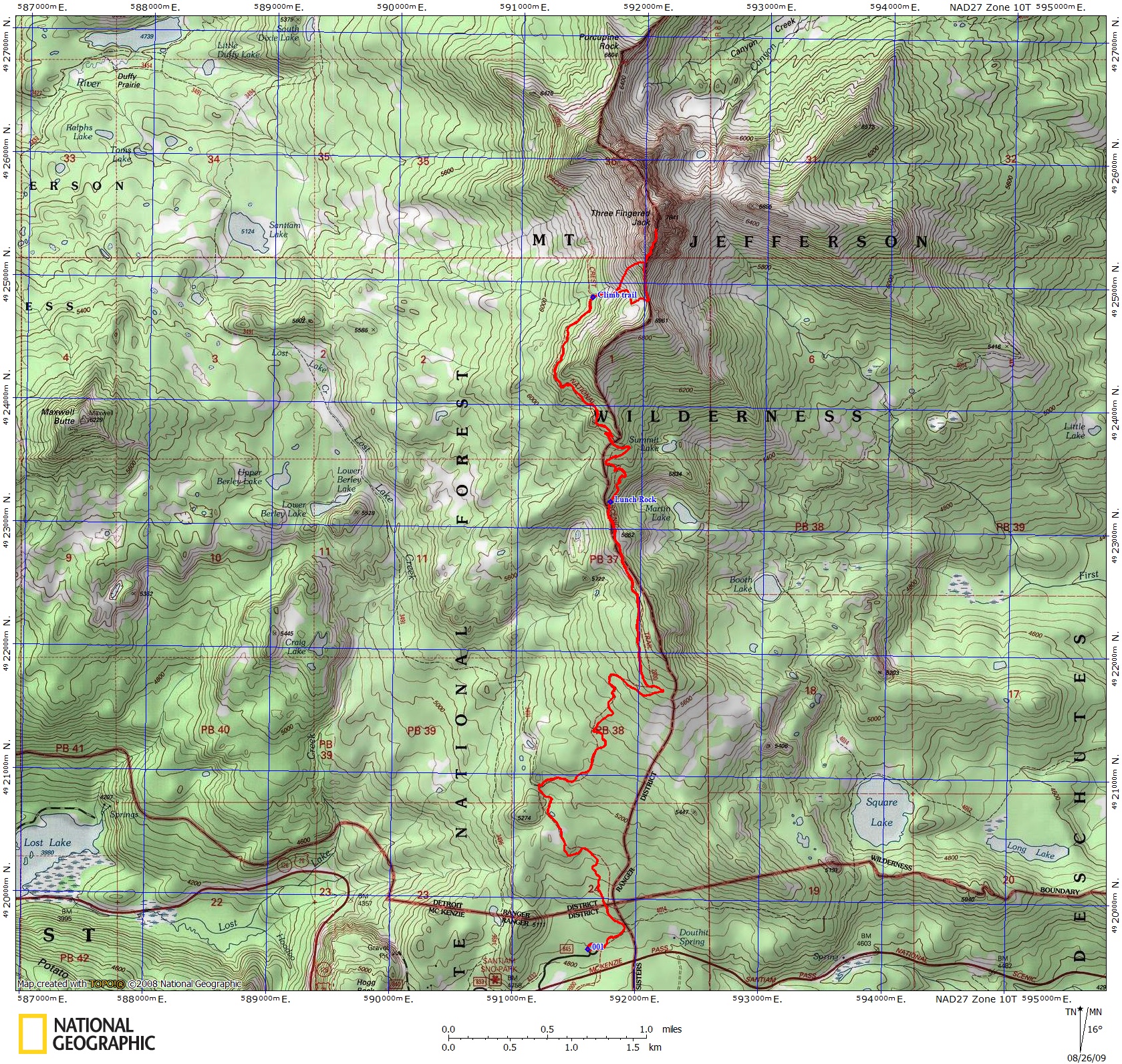
Our GPS track. Note the track stops just short of the summit since I did not take my pack past "the crawl"
 |
 |
 |
|---|---|---|
|
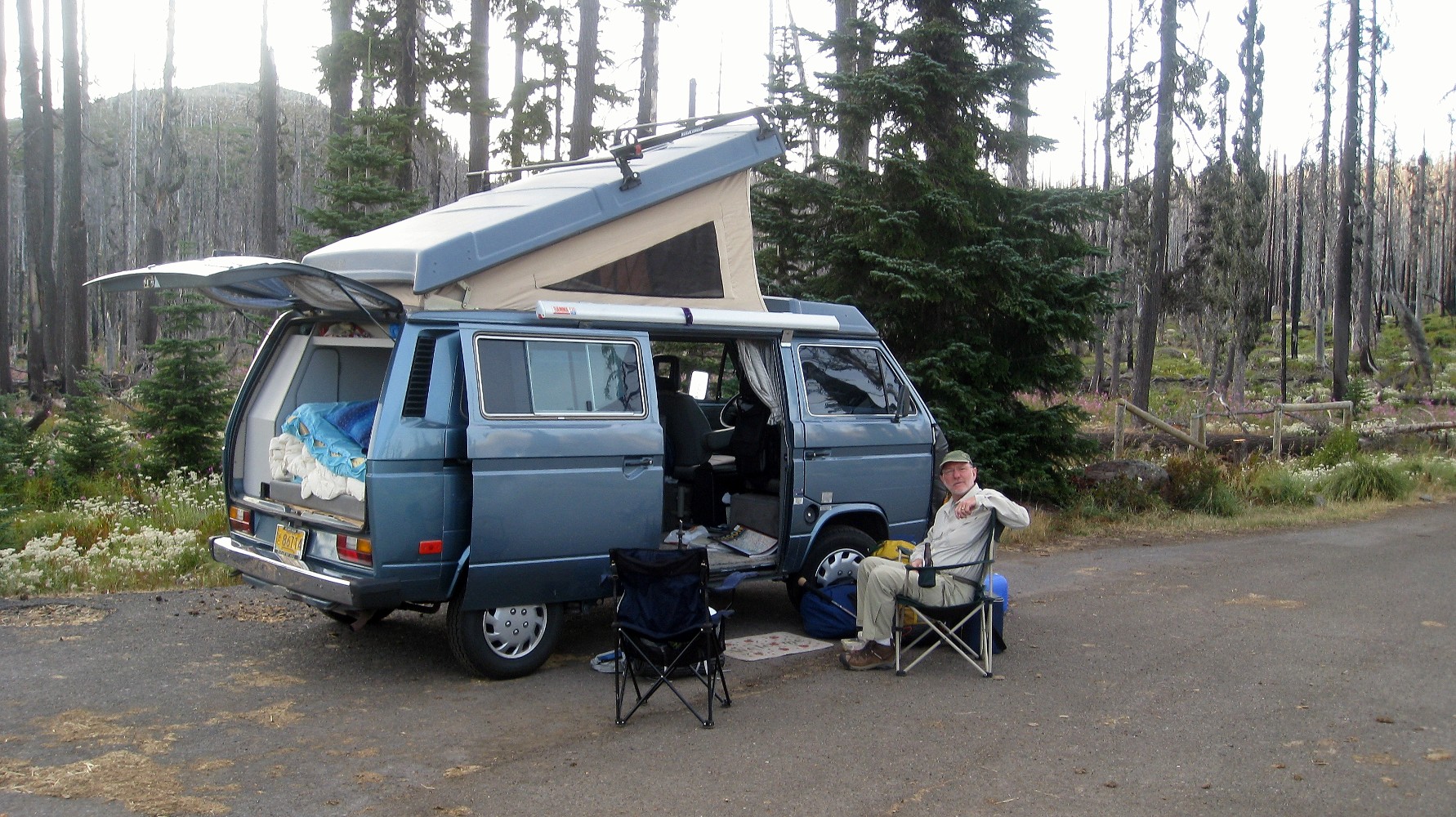
Bob & I had an excellent campsite for Friday Night |
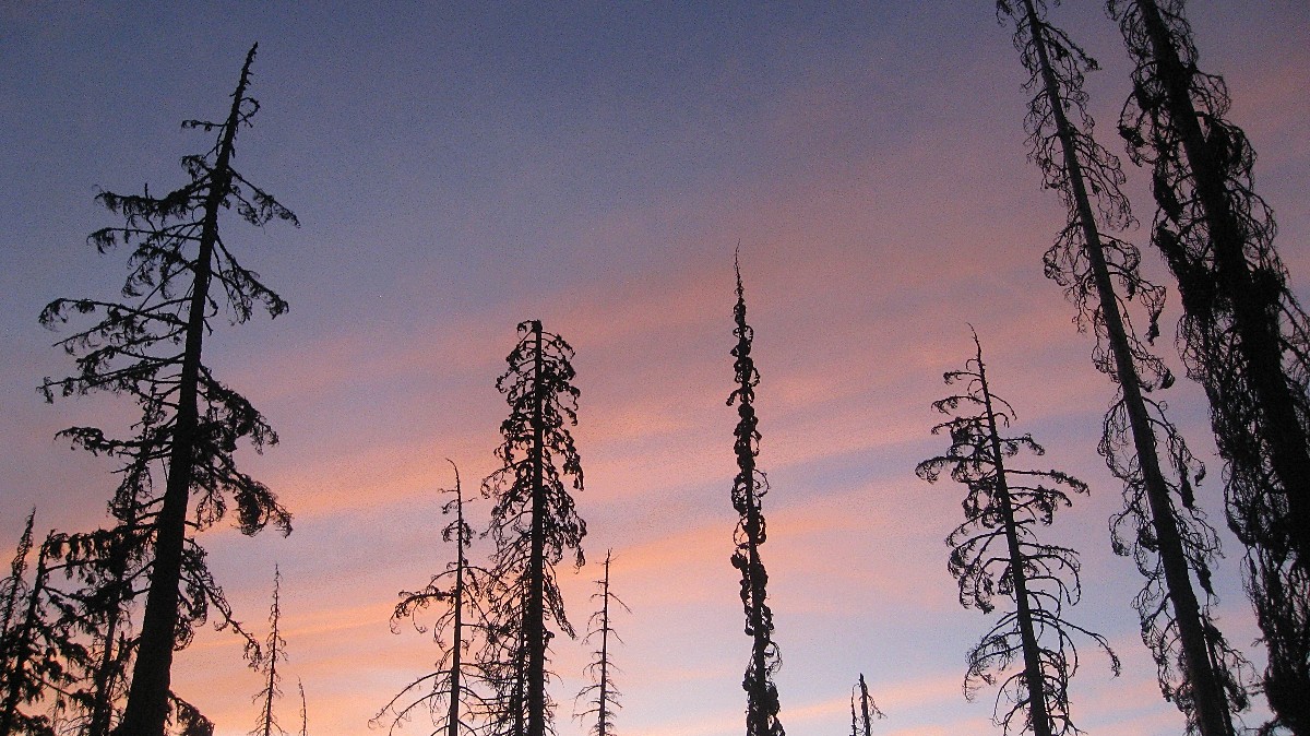
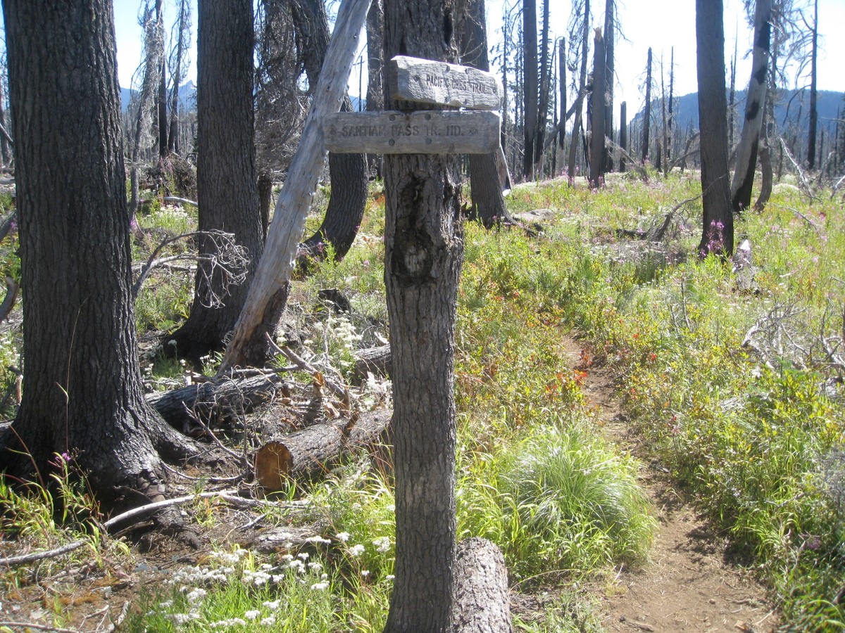
Where we met "Man Down" a PCT thru hiker looking for a pen to continue writing his journal | The PCT trailhead was burned in the huge B&B fire in 2003 |
 |
 |
 |
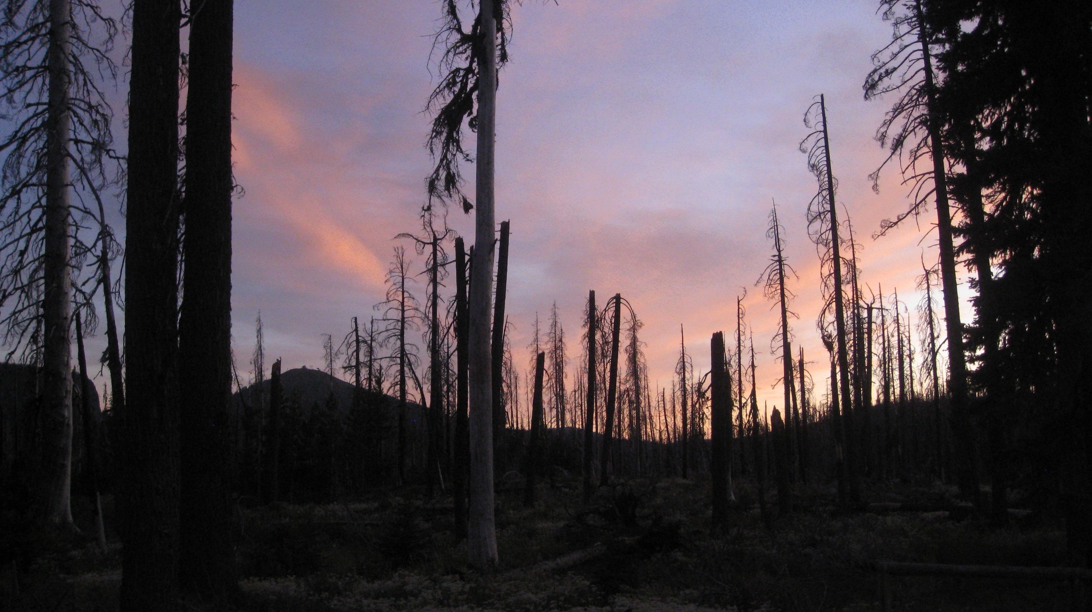
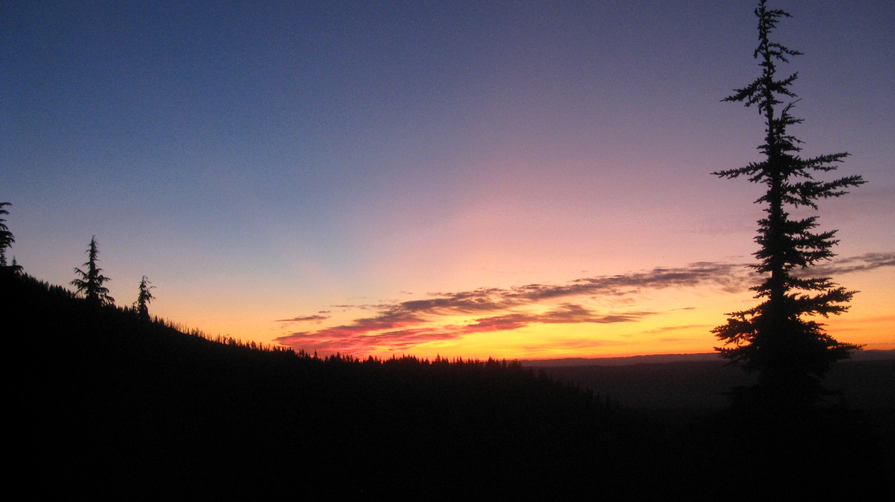
| Sunset Friday... | ...Sunrise Saturday (0419 start!) | Approaching the climber's trail |
 |
 |
 |
|
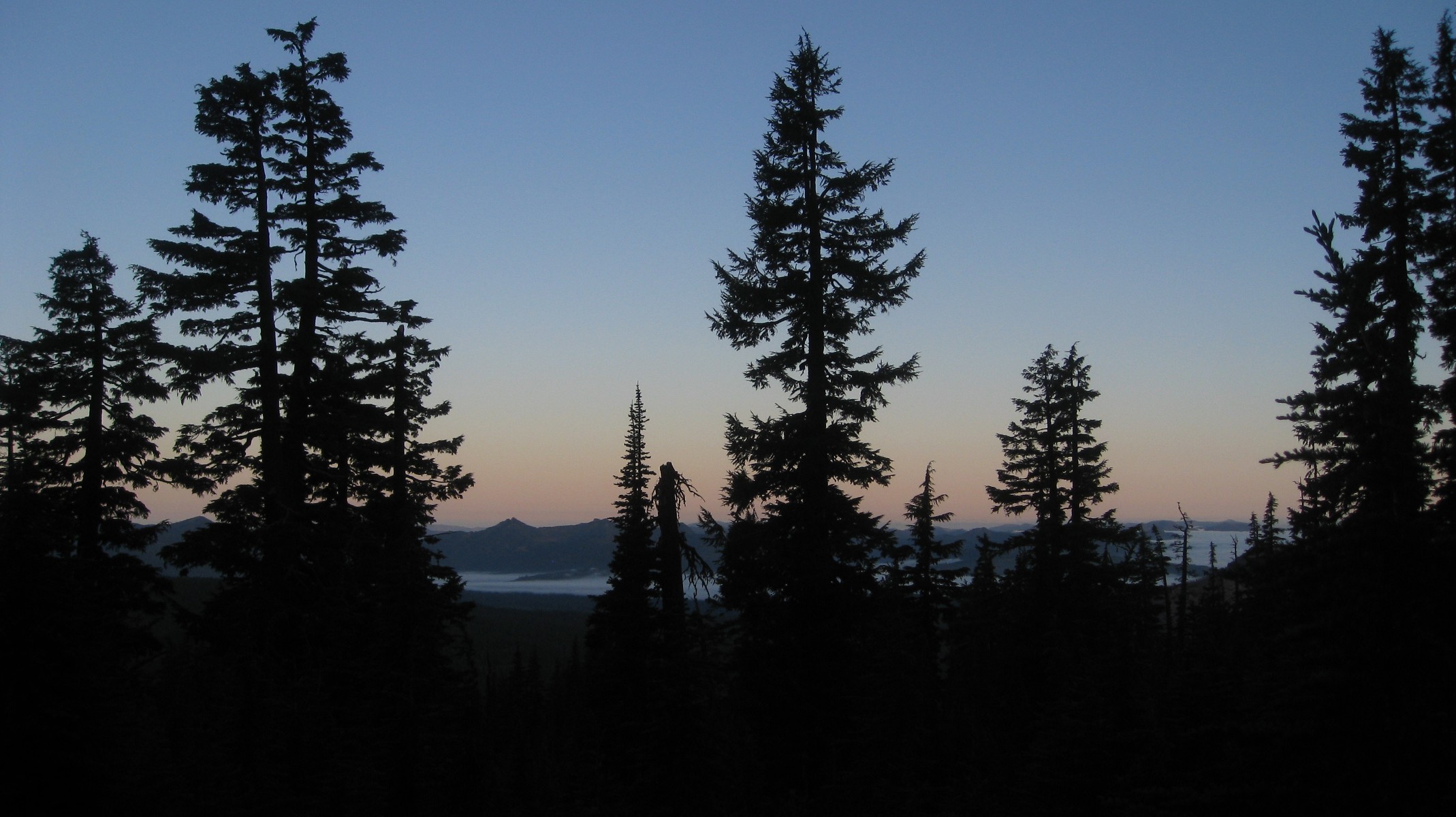
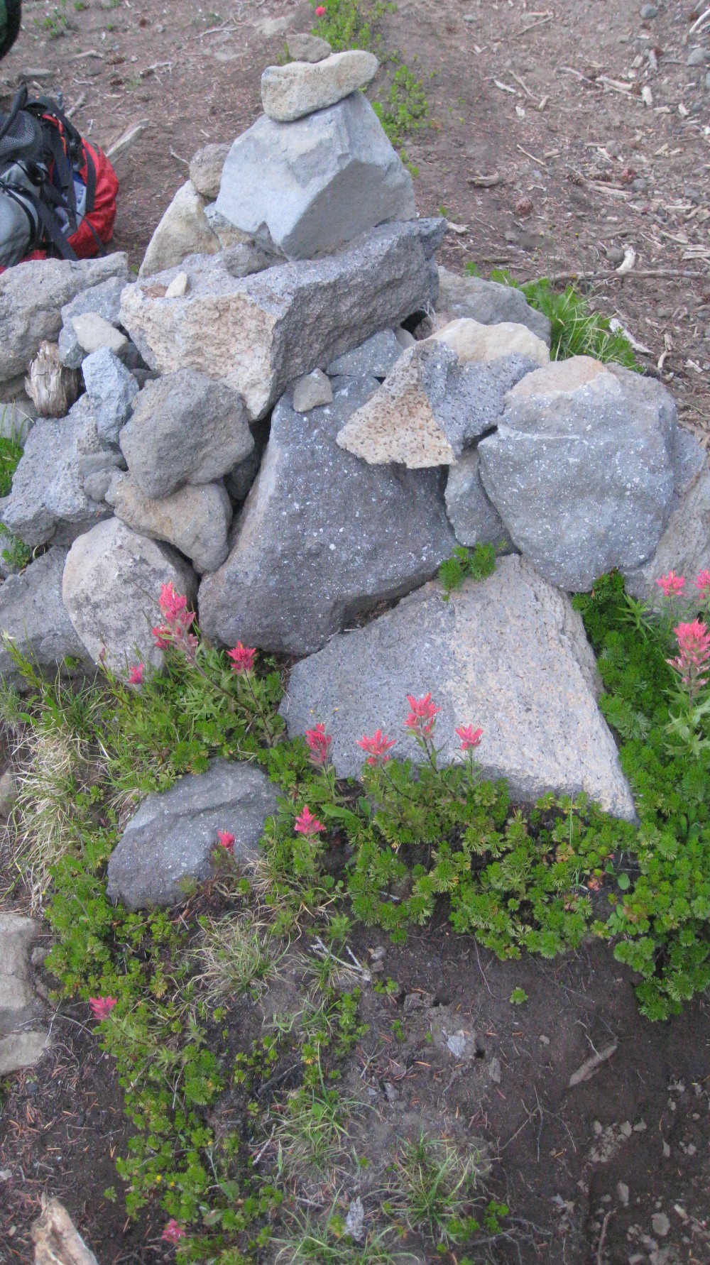
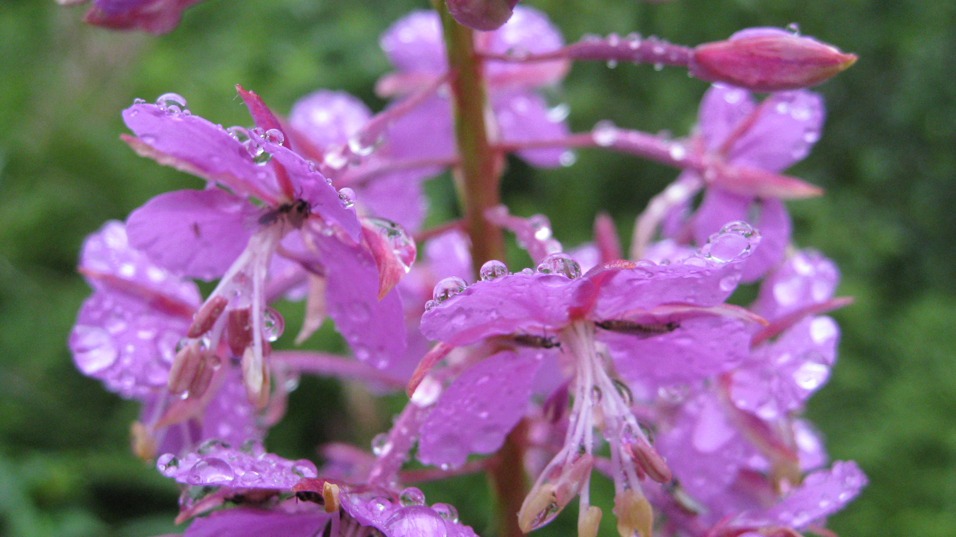
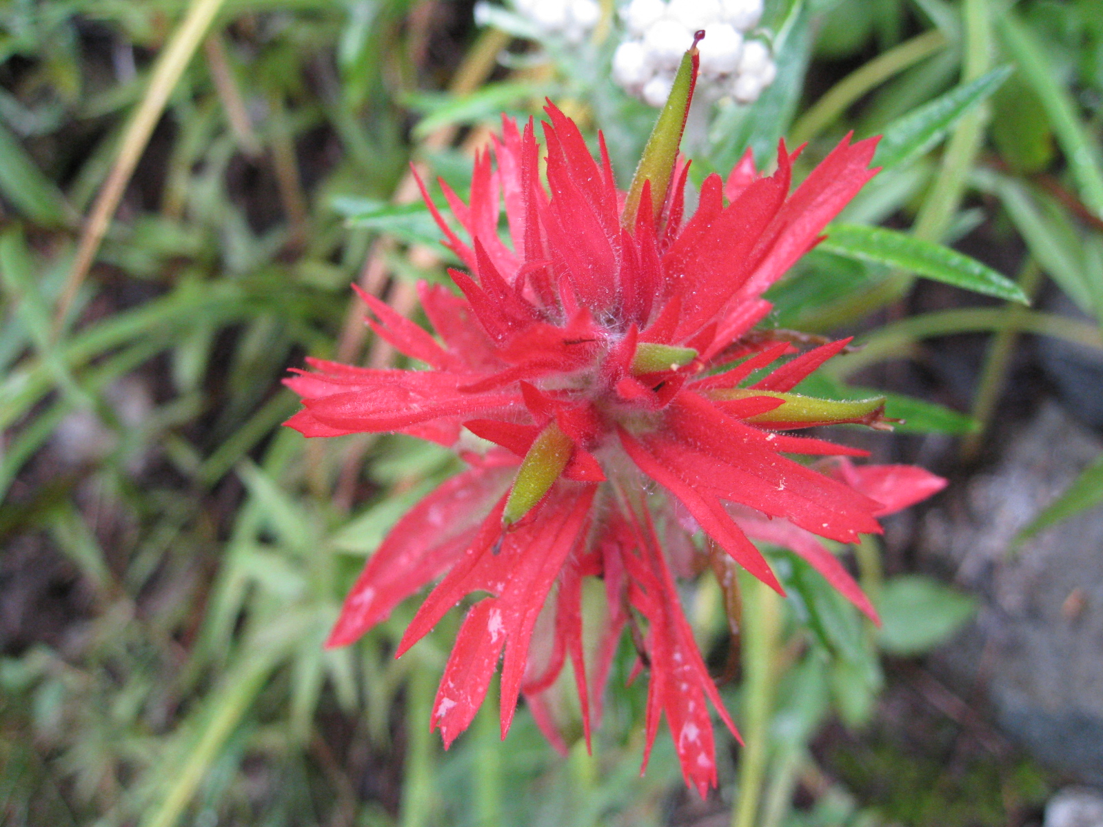
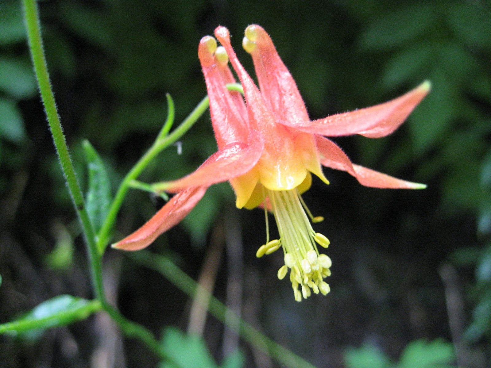
Early light view to the west |
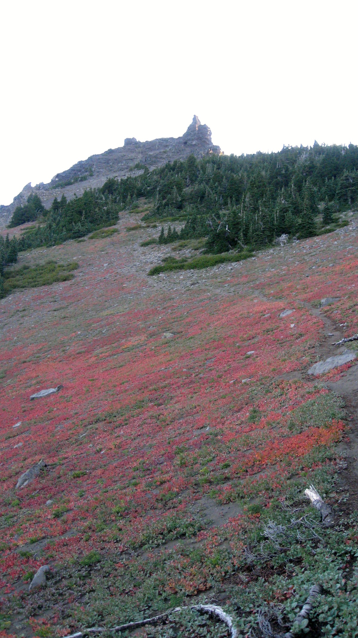
Cairn at the climber's trail (0630) | We'll be back here in 4.5 hours |
 |
 |
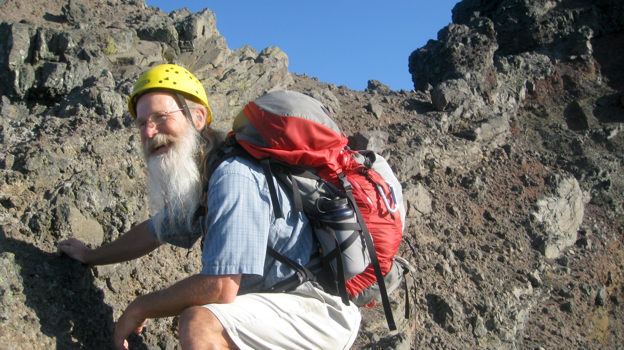 |
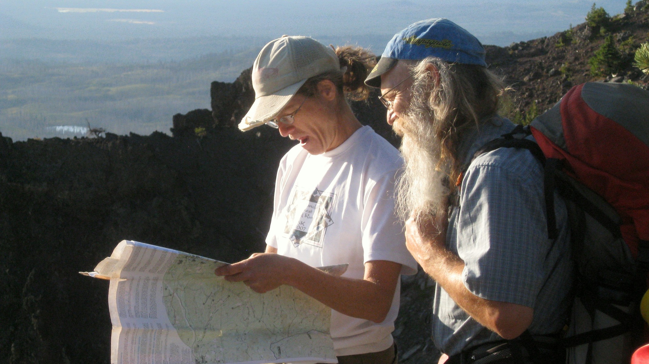
| LiLi and Wayne locating lakes | South Ridge | Our fearless leader |
 |
 |
 |
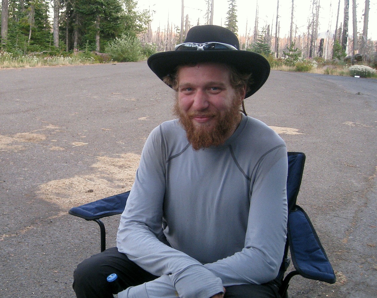
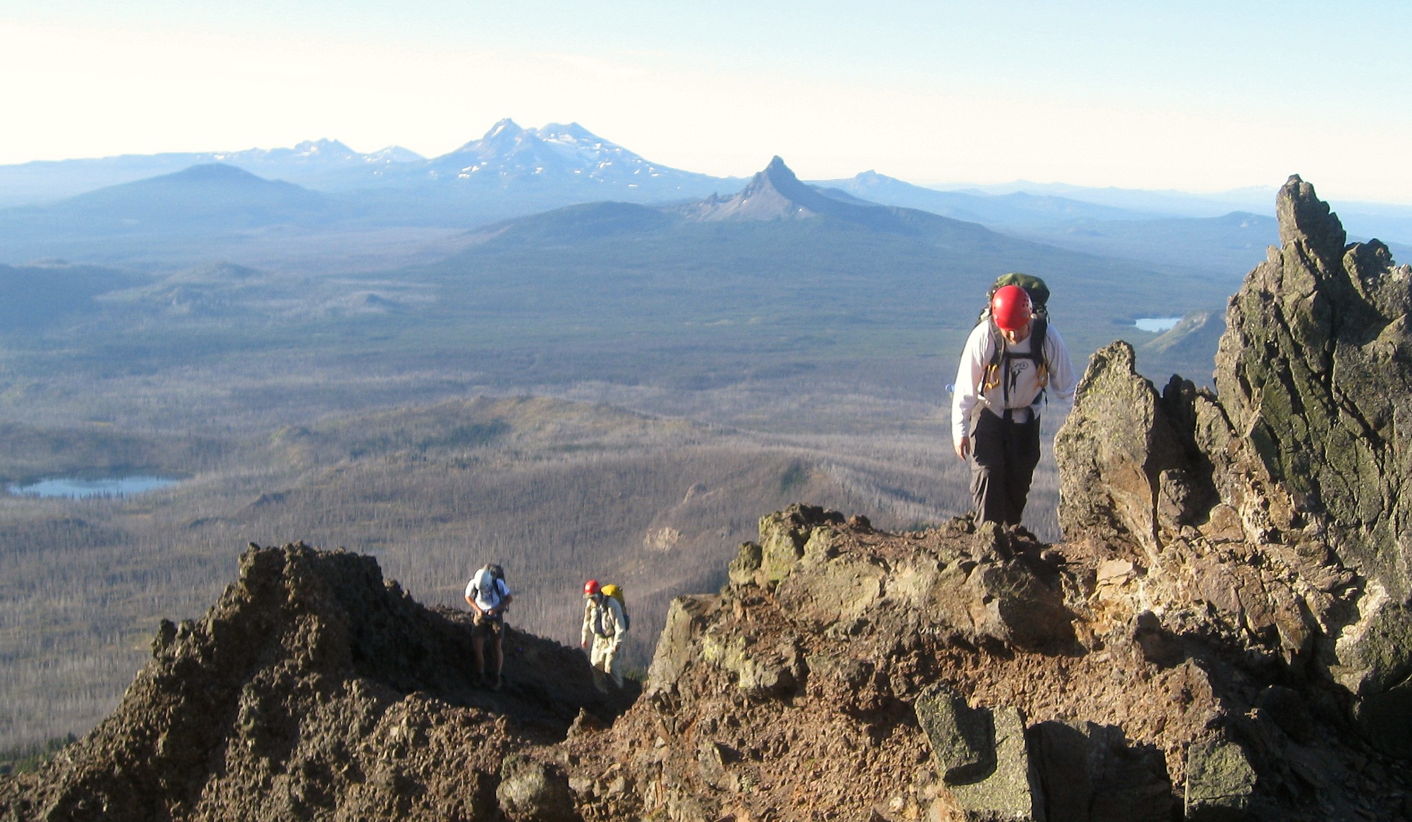
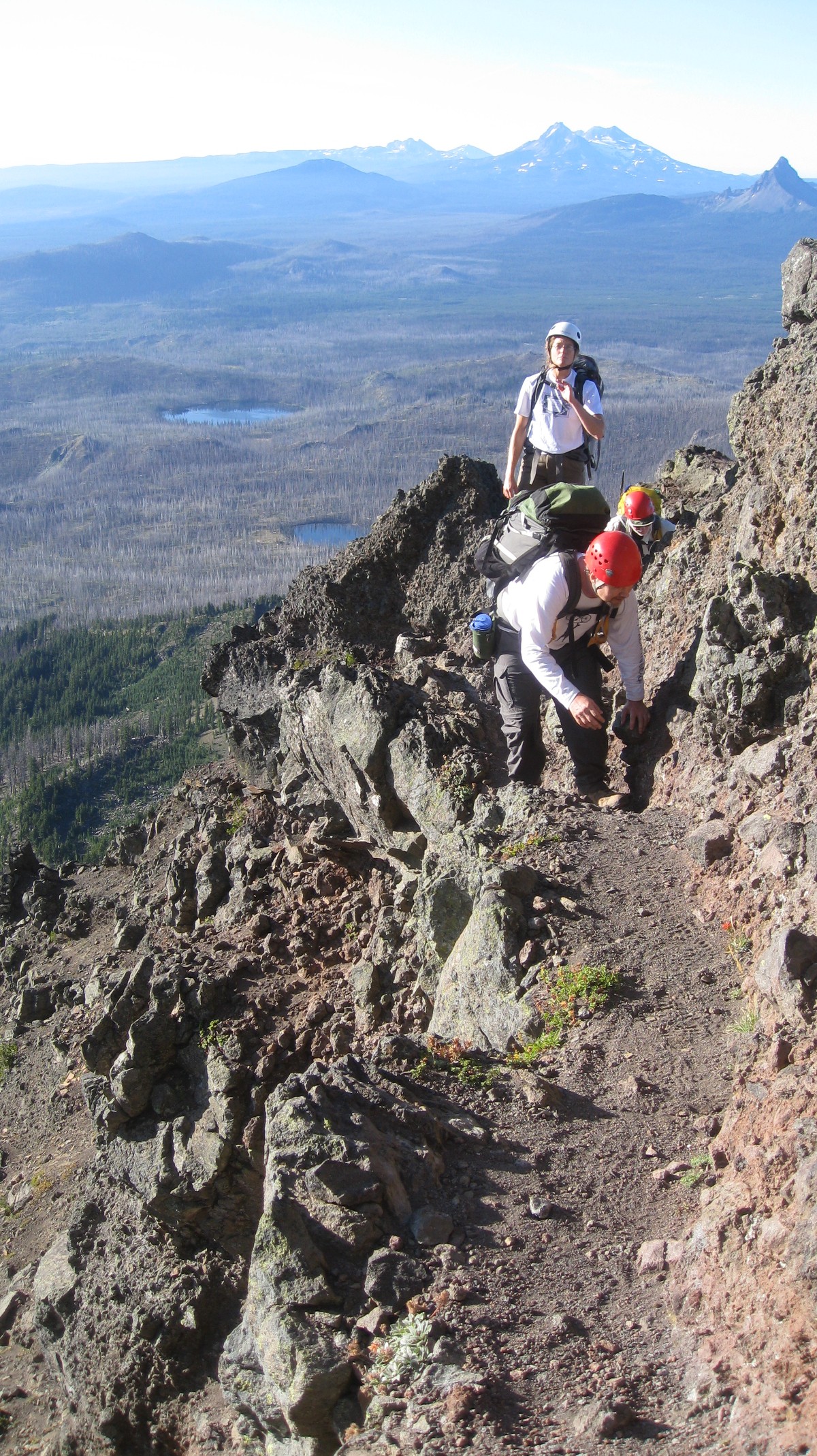
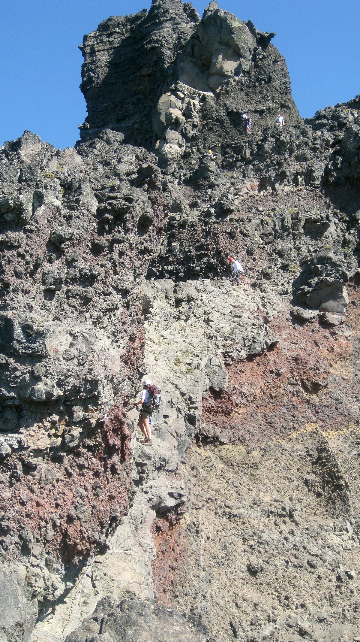
| This "catwalk" was just before we roped up for the crawl | Low 5th class climb to summit block | Jeff |
 |
 |
 |
|
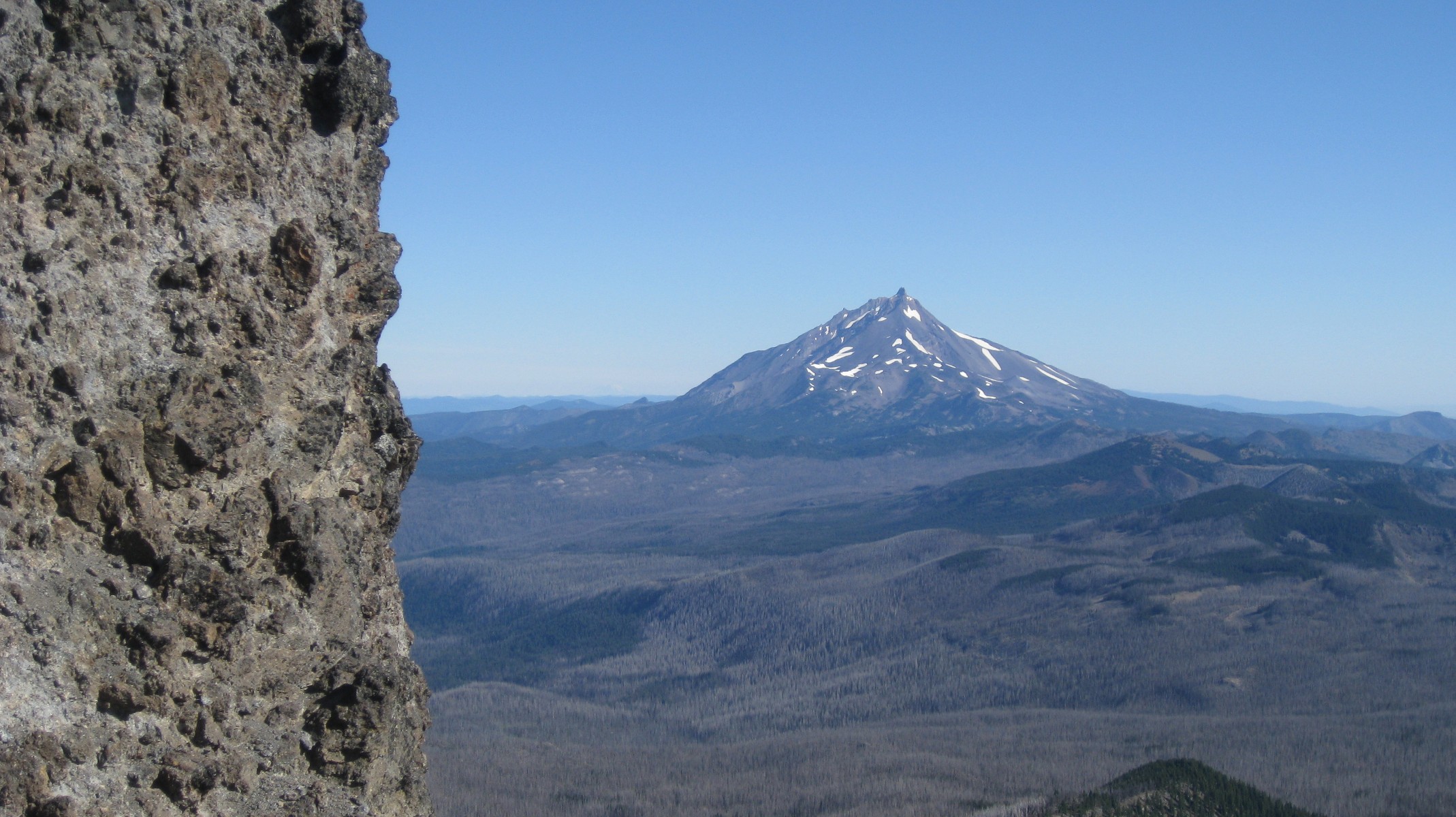
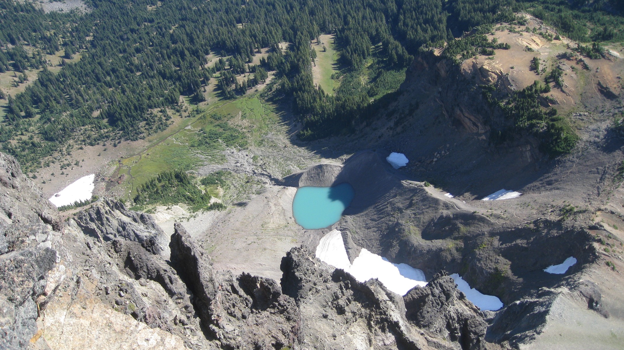
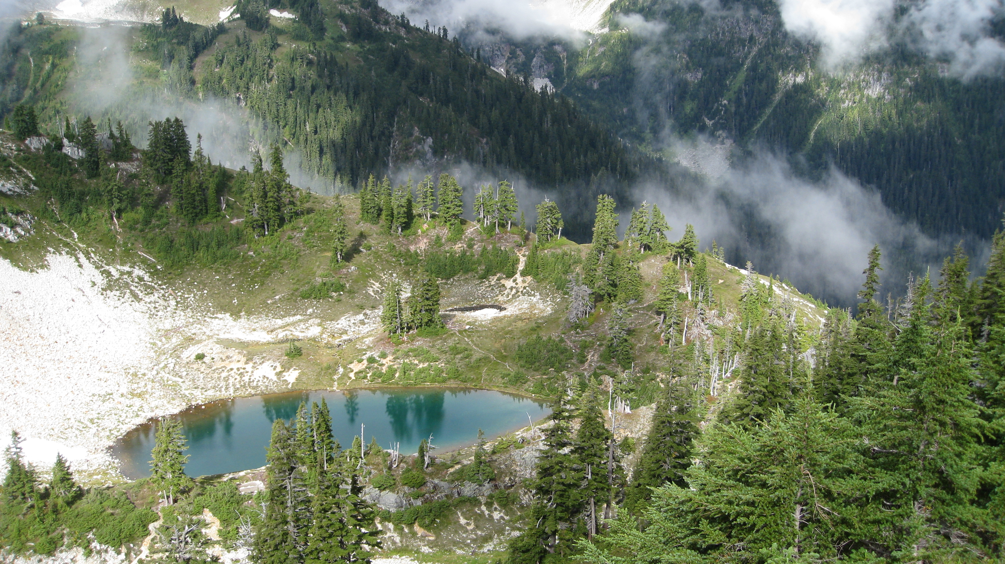
Tarn on NE side |
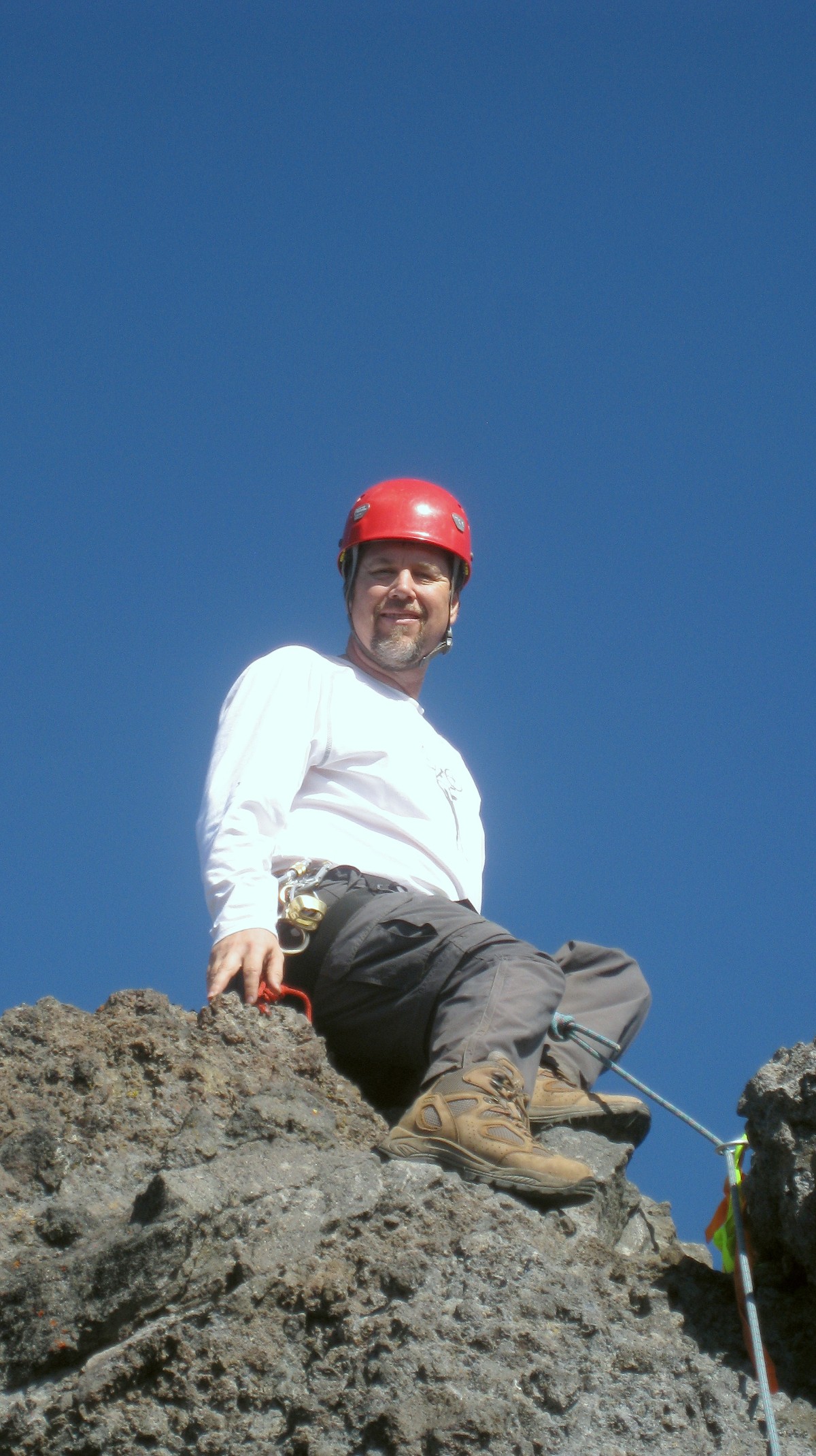
Mark's summit shot |
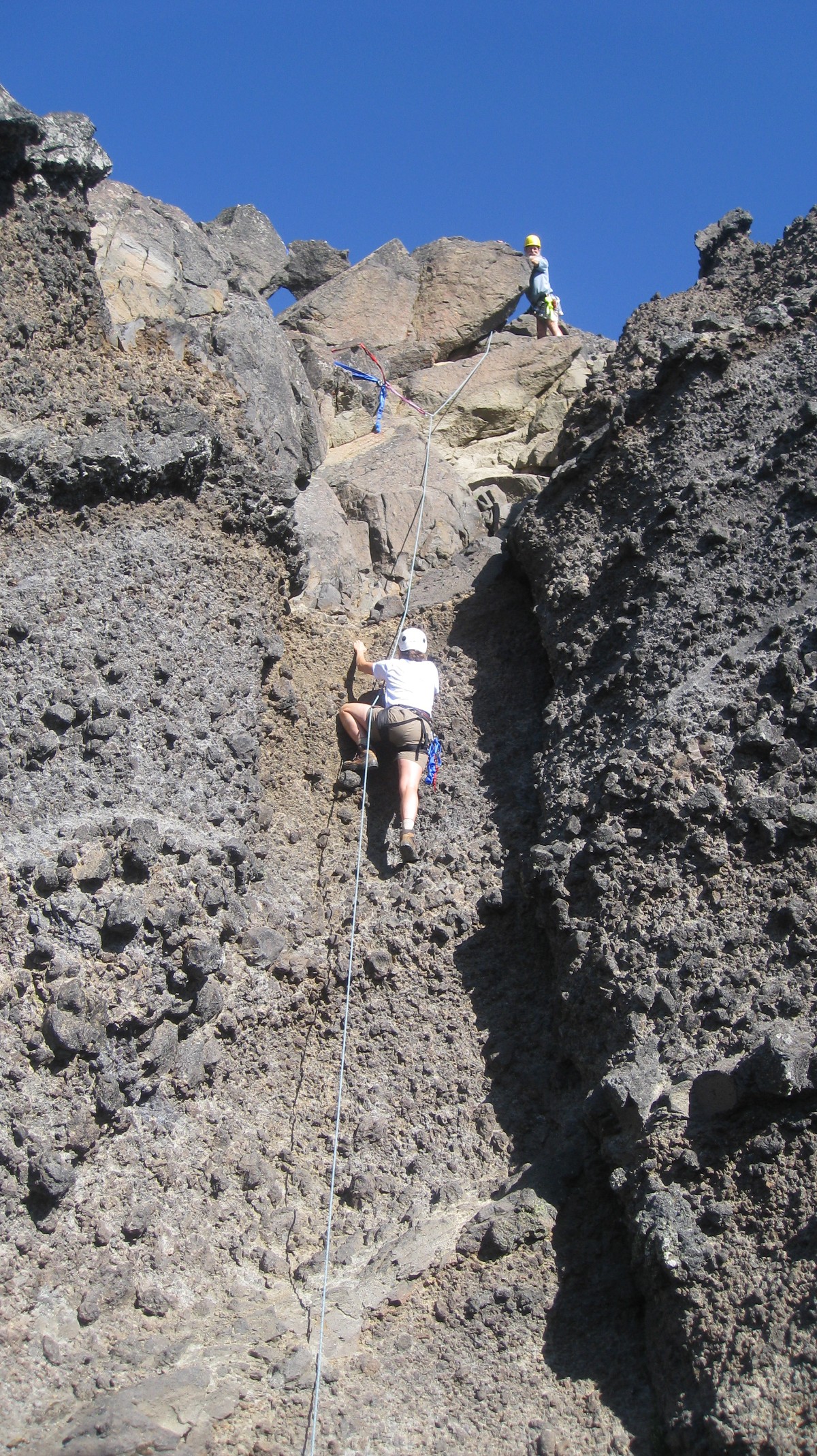
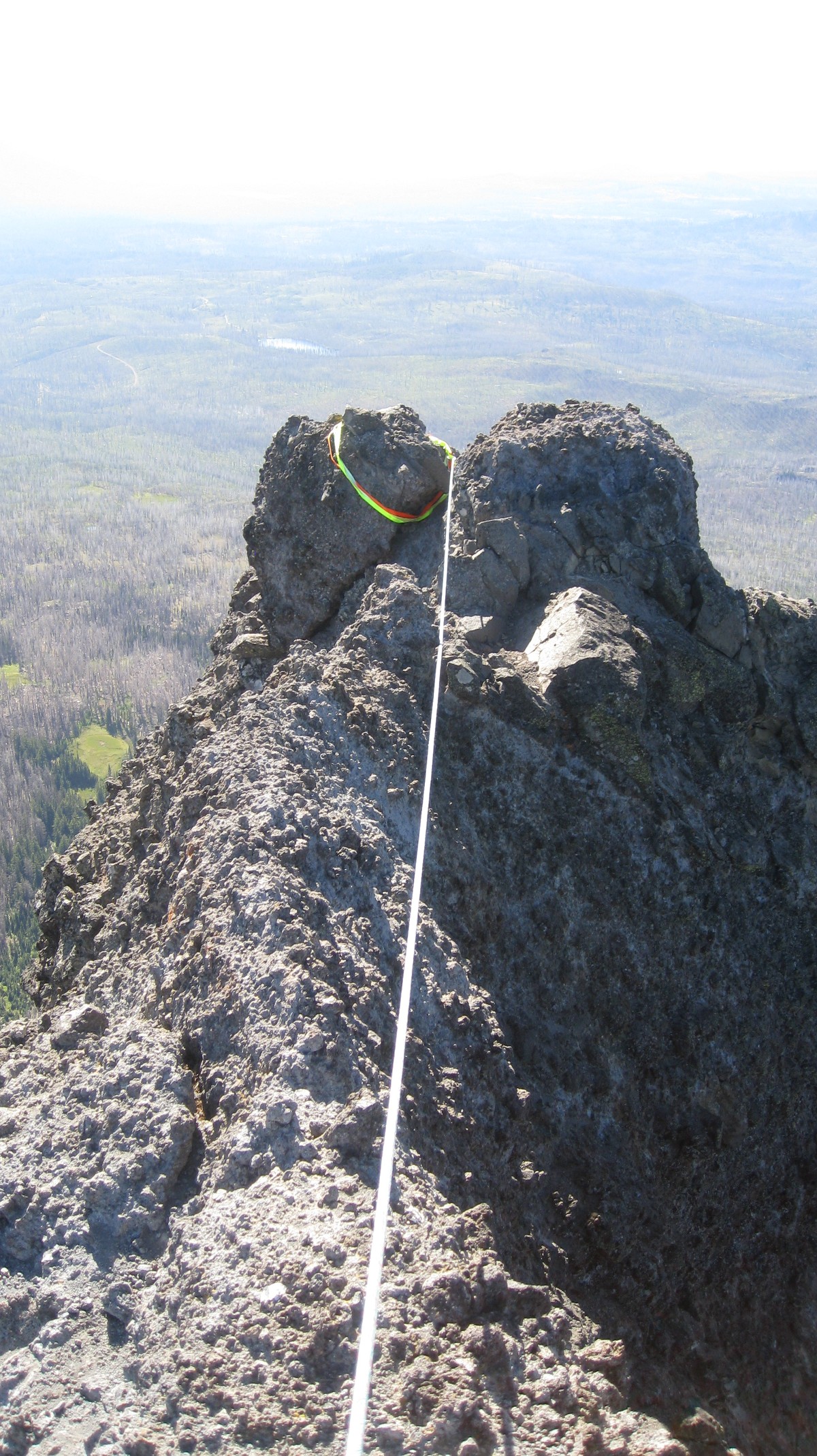
Bob on top (The actual summit required a short belayed scramble...) |
 |
 |
 |
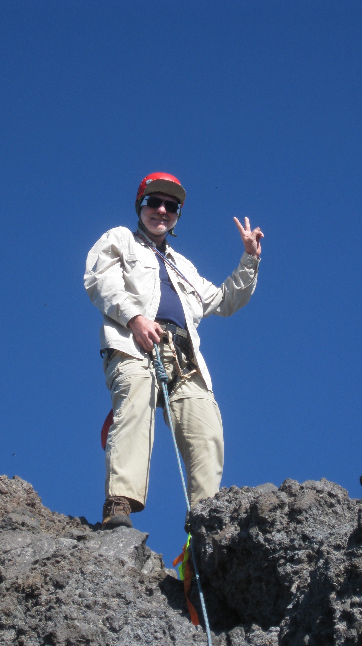
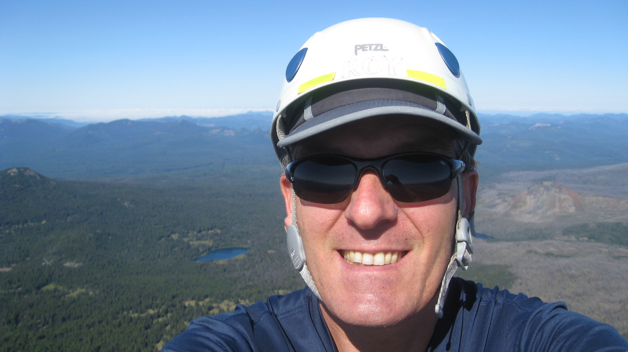
| ... To this point | Self-portrait on actual summit | LiLi & Bob returning on "the Crawl" |
 |
 |
 |
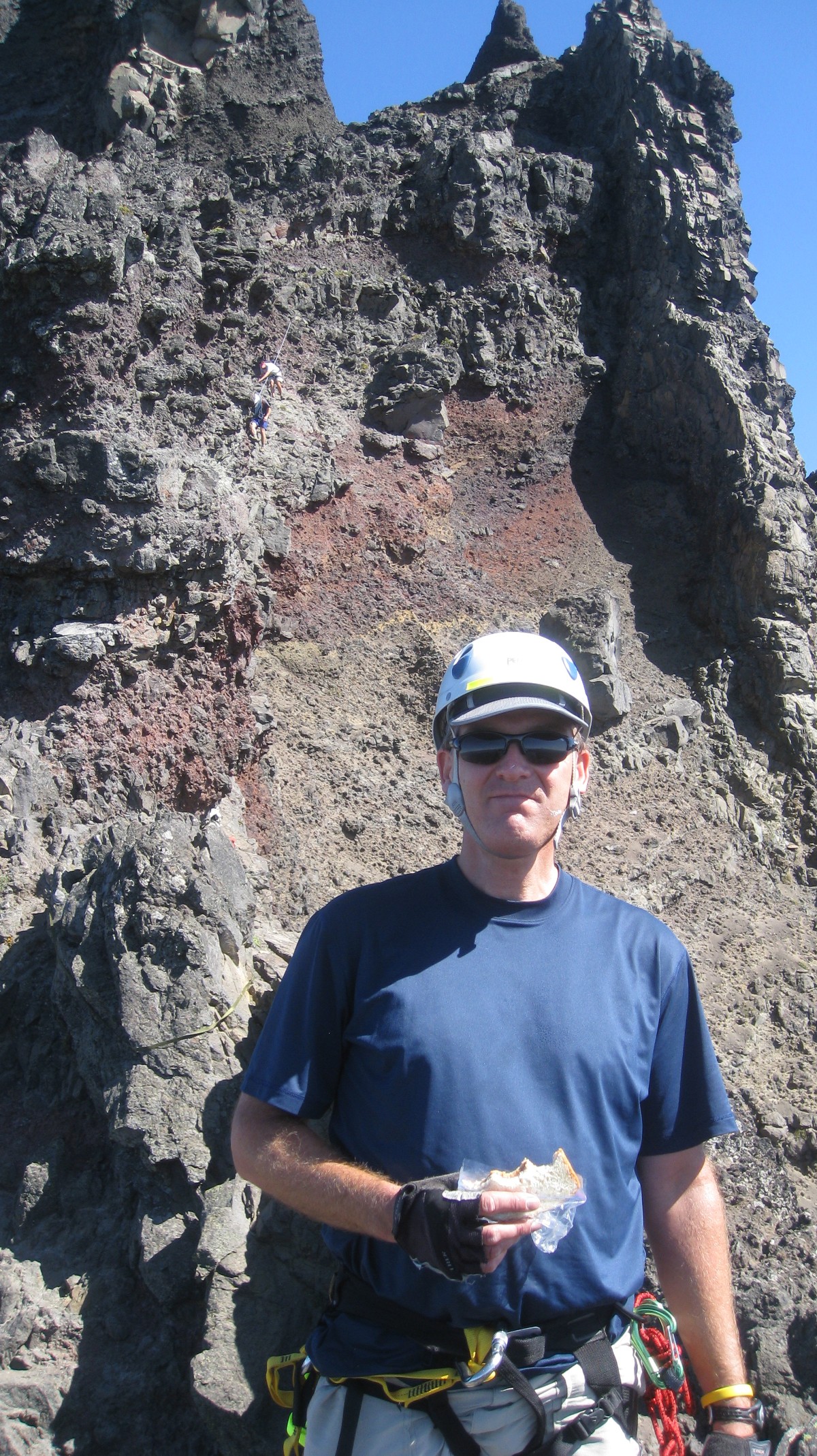
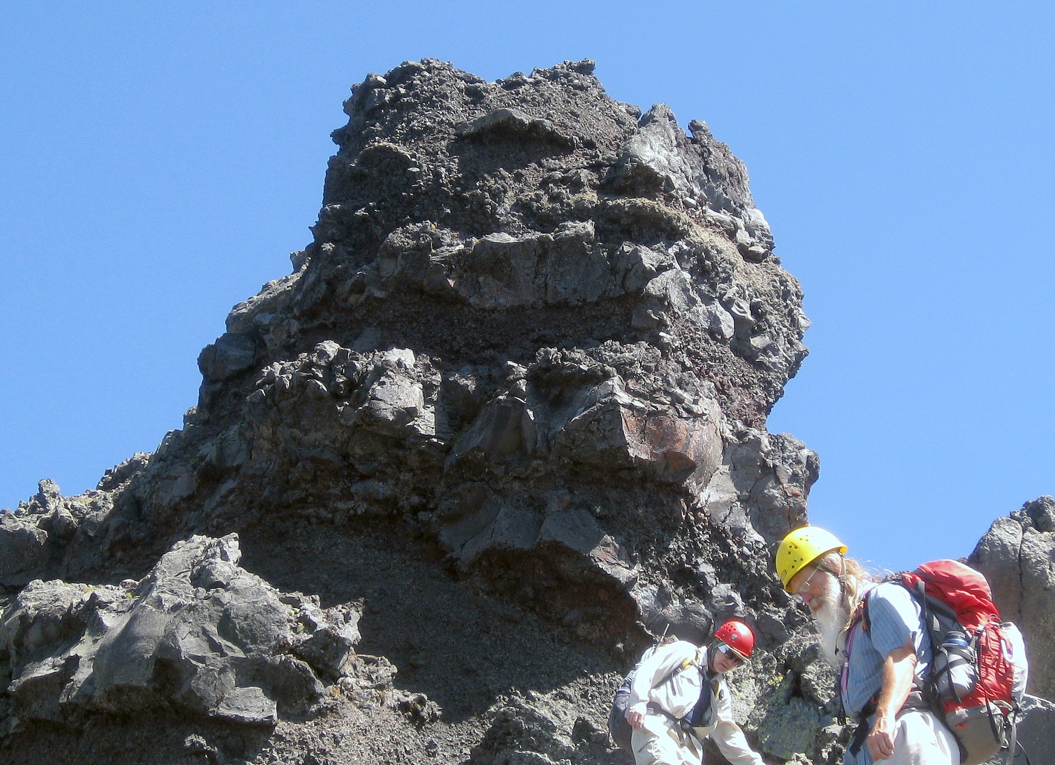
| Me with the crawl in background | The "Troll" behind Bob & Wayne | Scree skiing |
 |
 |
 |
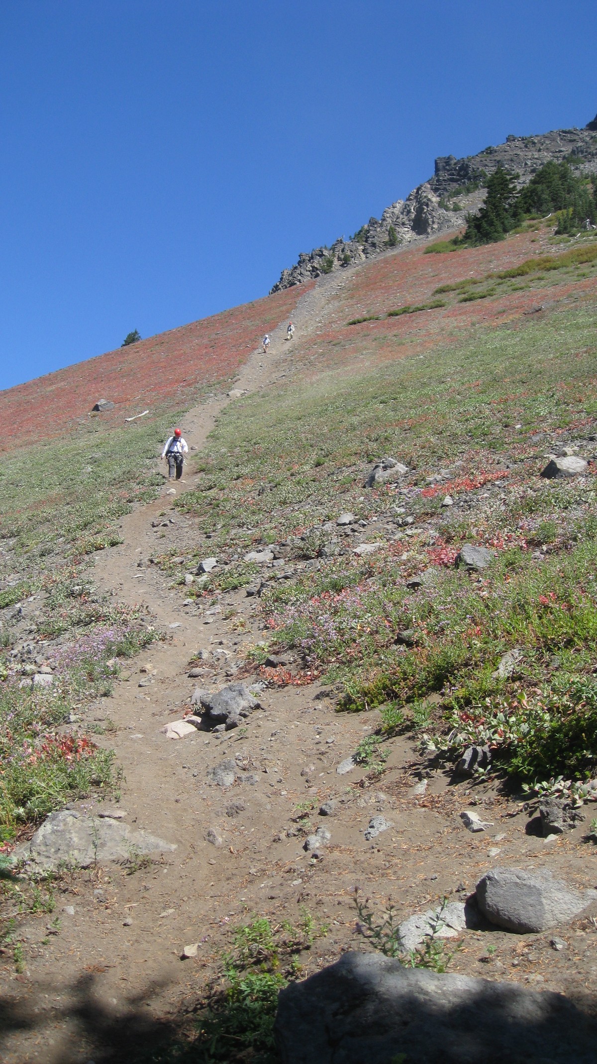
| Back down the dusty trail |
A little excitement on the drive home. A tree fell across the highway, taking out the power lines |
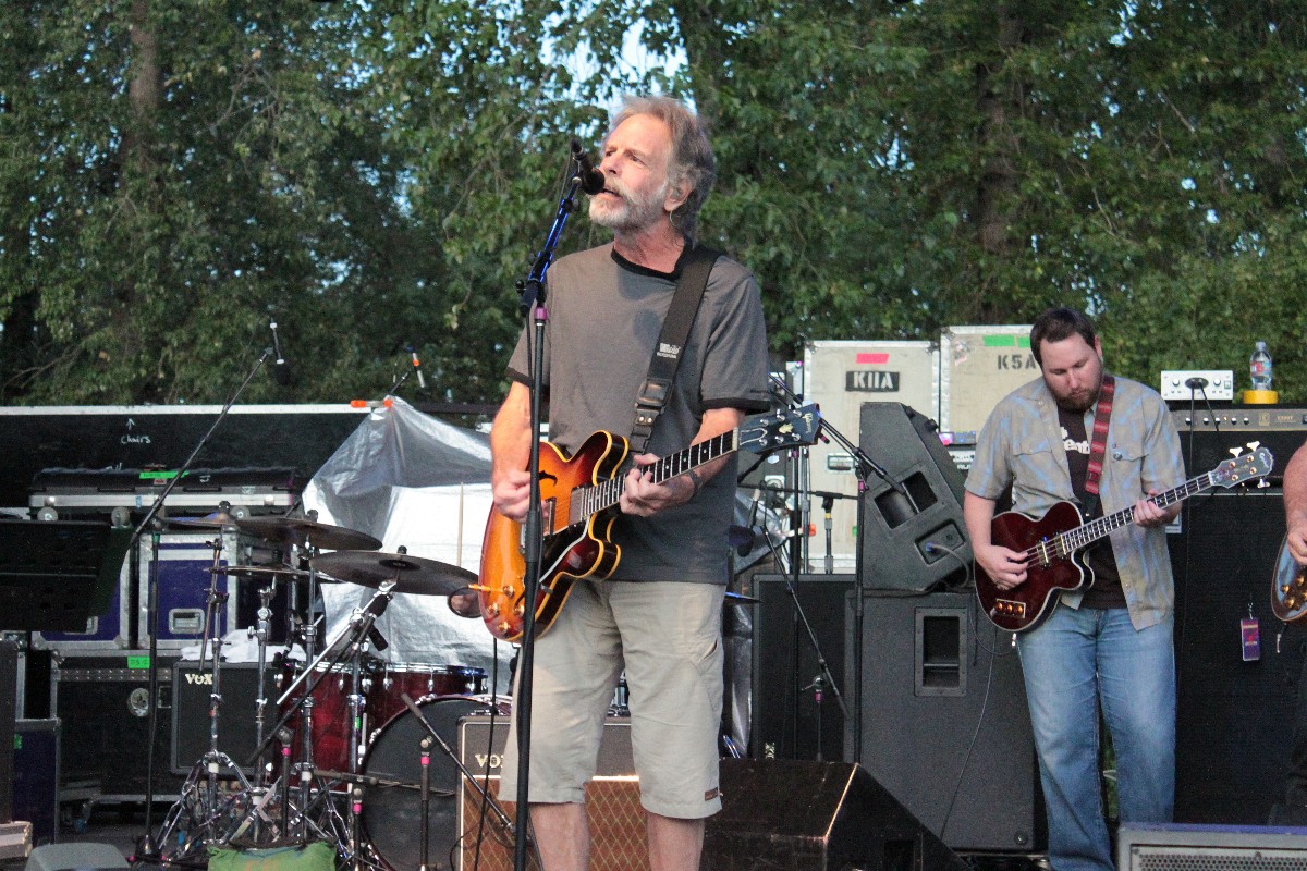
But I made it home in time to see Ratdog and Jackie Greene at the Cuthbert Amphitheater |
| Short video from summit | Panorama showing the "crawl" | |